Anyone Can Charter a Drone
Terasor connects people and businesses with owner-operated drone pilots for aerial photography, videography, surveying and logistics.
Terasor - Get Over It!
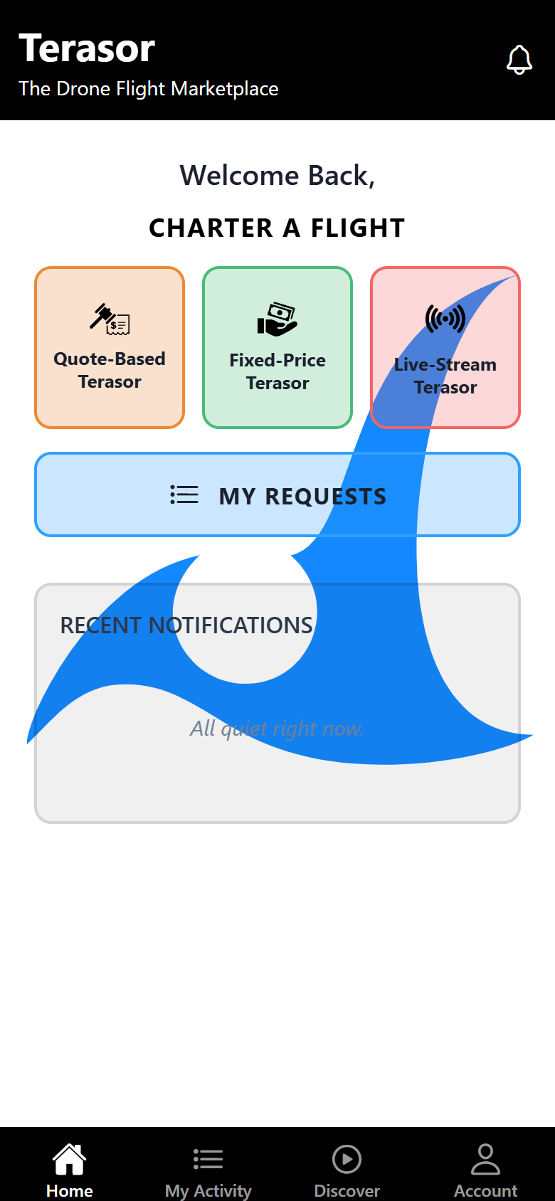

How It Works
For Clients
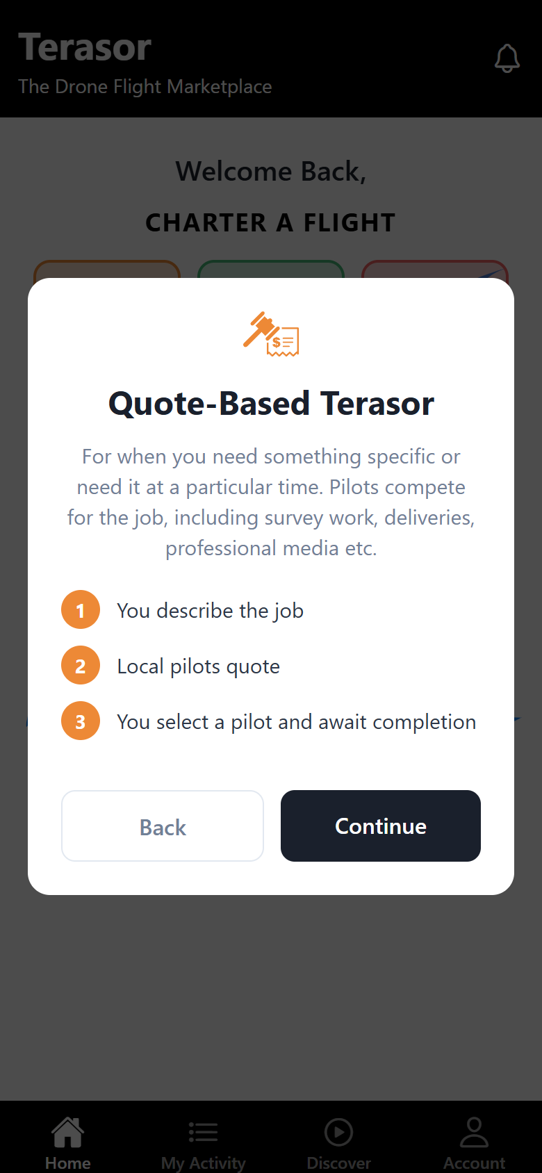
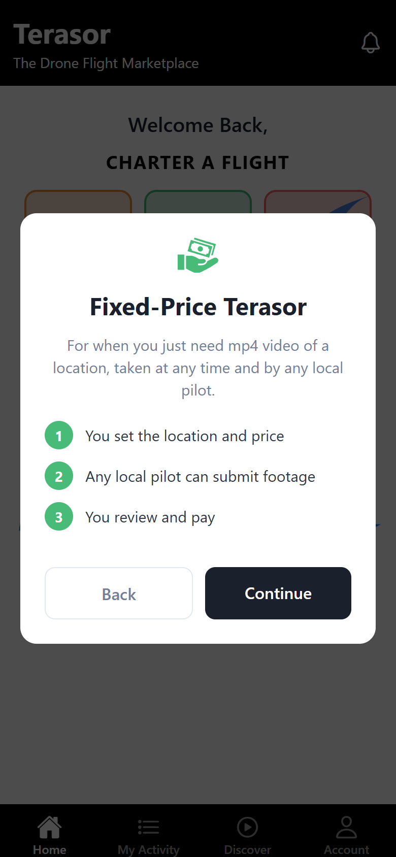
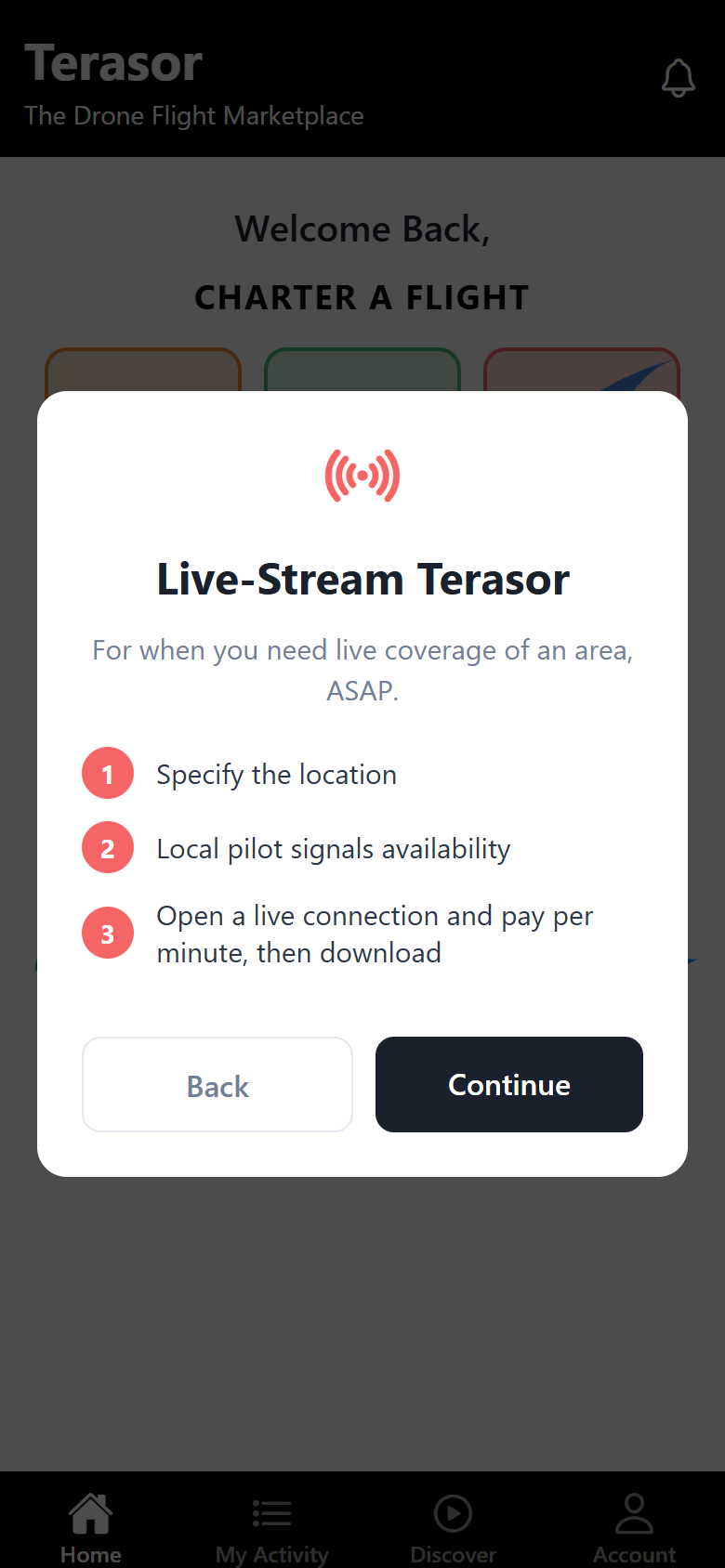
Post your charter
Describe what you need: a location, a date, a shot list, or a live feed.
Compare pilots
Local owner-operator pilots quote or submit footage, and you choose who flies.
Pay securely
The pilot is paid only after you approve the delivery, or the review period ends without a dispute.
For Pilots
Create your free profile
Add your drone, certifications, and service area. There are no monthly or listing fees.
Find work nearby
Browse charters near you and bid with your price and availability. Take bookings from your own clients, paid by link or QR code.
Fly and get paid
Deliver the footage. After client review you keep 90% of the charter price, before payment processing fees.
Check before you fly, free
The drone flight planner shows whether a flight works for a specific place on a specific day. No account needed.
Live airspace zones
19,728 permanent restriction zones published by NATS, the FAA and ENAIRE, covering cities across the United Kingdom, the United States and Spain, with the source and its date on every page.
Weather that judges itself
Wind, gusts, rain and temperature for the week ahead, judged hour by hour against a cautious small drone rather than left for you to interpret.
Daylight for the day
Sunrise, sunset and usable flying hours for the place itself, so the plan matches the light you will actually have.
Or see what one drone flight becomes: 3D World rebuilds a flight into a 3D scene you can turn and zoom in a browser.
Why Terasor?
One platform, both sides of the flight.