What a drone roof and gutter inspection shows you
 MaximAugust 27, 2026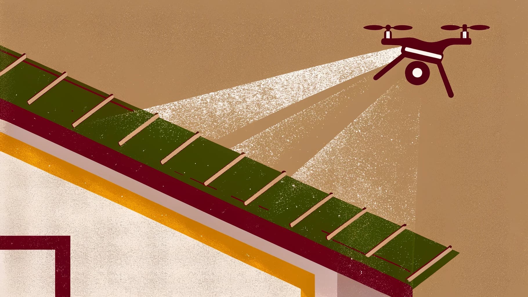
Something drips, or a tile turns up in the garden after a storm, and somebody comes round with a ladder. They climb, they look, they come down and describe what they saw, perhaps with a few photographs taken at arm's length from the gutter line. Then they say what it will cost to put right.
At that moment you are being asked to agree a scope of work on the strength of a description, given by a person whose income rises with the scope. That is a structural point rather than an accusation, and it holds when the tradesperson is completely honest. You cannot check the description. You cannot get a second opinion without arranging a second visit and a second climb. And a year from now, when something else drips, you will have nothing to compare against.
This is not a safety argument
It is the argument people expect. The Health and Safety Executive says that "Ladders and stepladders are not banned under health and safety law." It puts the test this way: "The law calls for a sensible, proportionate approach to managing risk, and ladders can be a sensible and practical option for low-risk, short-duration tasks, although they should not automatically be your first choice." Whether a particular roof or gutter run is low risk and short duration is a judgement about that job, and the exemption does not settle it in advance. The problem with a ladder inspection is not the ladder. It is that what comes back down it is an account, and an account is the weakest evidence you can be asked to spend money on.
Even a professional survey sees the roof least
In the United Kingdom the standard home survey works within the same limits, by design. RICS, the professional body for surveyors, says of its Level 2 service that parts of the inspection are carried out "when standing at ground level", and that the surveyor "uses equipment such as a damp meter, binoculars and torch, and uses a ladder for flat roofs and for hatches no more than 3m above level ground". Its Home Survey Standard draws the same line: a roof "that is not visible from a window or another part of the building" is inspected where it is "not more than three metres above ground level". So the roof is the part of a house a survey sees least of, and the person with the ladder is often the only one who has looked.
What a drone inspection produces instead
A drone inspection produces a record rather than an account. The pilot flies a planned pattern over the roof and around the building, photographing every pitch, ridge, valley, flashing detail and gutter run closely enough, on most roofs, to make out individual tiles, and every file is dated. You receive the evidence itself, before anybody has told you what it means. More on our roof inspection page.
That changes three things.
You can look before you agree. The scope of work is discussed with the photographs in front of you, and a statement that the ridge has moved or a flashing has lifted is either visible in them or it is not.
You can get a second opinion without a second visit. Citizens Advice tells homeowners to "Try to get written quotes from at least 3 different traders before you decide on one", and the National Federation of Roofing Contractors says to "Base your choice on the quality of the advice given and your confidence in the contractor." Both are easier when every contractor quotes against the same images rather than their own climb, and the second contractor never has to attend.
You have something to compare against next winter. A dated set of images of every elevation is a baseline, and after the next storm the question of whether that tile was already slipped has an answer rather than a memory.
Gutters, which you cannot see from anywhere else
From the ground you see what a gutter does, not what is in it: a wet patch on the wall, a green streak, water going over the edge in rain. The Society for the Protection of Ancient Buildings puts the cause plainly, "Gutters, downpipes and gullies can become blocked if leaves, moss and debris (for example, broken tiles) are allowed to accumulate." A parapet gutter, or a valley set behind a ridge, is exactly the run no ladder and no window gives you a view into.
From above, a gutter run is legible: silt, moss, the broken tile lying in it since the last storm, standing water where the fall has gone, a joint that has opened. Those are surface conditions, and surfaces are what a camera records.
One limit belongs here. The same society advises that "Fittings are best checked for leaks in heavy rain", and a drone does not fly in heavy rain. The aerial record shows the run dry, and a joint that only weeps under running water will not look like anything in it. That one is still found from the ground, in the wet.
What a drone cannot do
A drone does not touch the roof. It cannot lift a tile to see what is underneath, feel whether a fixing has worked loose, test how sound a batten is, or clear a blocked gutter while it is up there. It photographs surfaces. Anything that needs a hand on it still needs somebody to go up, and the inspection tells you where and why rather than removing the need entirely.
The National Federation of Roofing Contractors makes the same point from the other side, warning homeowners that an estimate for refurbishment work "can change once the chosen contractor has removed the main covering". A record of the surface is a record of the surface.
Thermal
Some pilots carry a thermal camera as well. A thermal camera reads surface temperature rather than moisture, so what it produces is a picture of where a roof is warmer or cooler than its surroundings. That can point at things a visible camera will not show, such as insulation that has slumped or an area holding heat differently from the rest of the roof. It does not label the cause. Reading a thermal pattern is an interpretation made by somebody trained to make it, and it depends on conditions: fabric work wants a temperature difference across the structure and a surface the sun has not been loading, which is why it is often flown early or late rather than in the middle of the day. Not every pilot carries thermal, so it is worth asking before you book rather than assuming it is included.
ASTM C1153, the American standard practice for locating wet insulation in roofs, pairs "infrared imaging at night" with "verification of infrared data using invasive test methods" in the scope ASTM publishes for it. A thermal image is where an investigation starts. More on our thermal imaging page.
What good looks like when you commission one
Full coverage: every elevation and every gutter run, not just the side you were worried about, because that is where next year's comparison lives.
Usable resolution: close enough that a tile, a flashing edge or a gutter joint can be made out in the file, not only in the pilot's summary.
Dated files that you keep. What you send to a second contractor, a surveyor or a loss adjuster, and open again next winter, is the imagery itself, in a form you can store and forward.
Clarity about what you are buying. Imagery is one thing; a written interpretation is another, done by somebody qualified and normally priced separately.
How to judge who you are booking is a separate question, written up at what we check, and what you should.
At the end of a ladder inspection you are holding a story. At the end of a drone inspection you are holding the evidence, and whatever gets agreed next is agreed against something that can be looked at again.
Co-Founder, Terasor
Documentary and portrait photographer, UK
Maxim is Co-Founder of Terasor and a UK based documentary and portrait photographer. He flies a DJI Mini 4 Pro and writes about UK drone regulations, the wider industry, and the platform from a working photographer's point of view.
LinkedIn