Starting a drone inspection service in the UK: what clients pay for
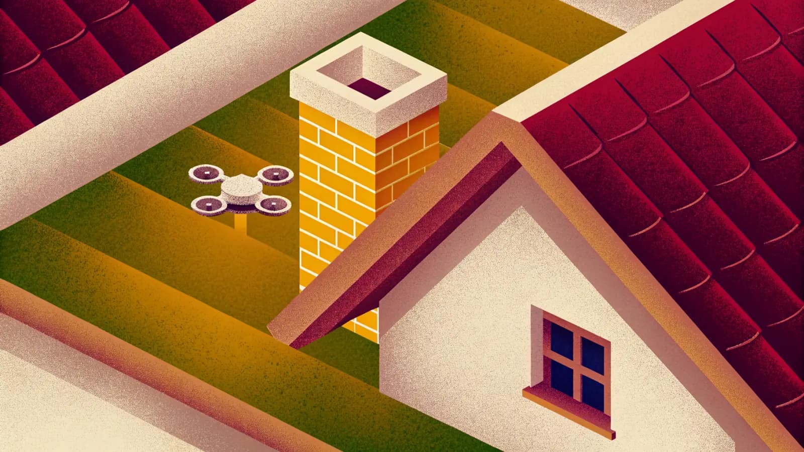
If you own a camera drone and keep wondering whether inspection or survey work could be a business, this guide is for you, particularly if you freelance and have no idea where that work comes from. It covers what inspection clients pay for, the jobs that tend to come first, the kit and permissions involved, and how to reach the first clients.
What inspection clients pay for
The people who commission inspections are not buying flying time. RICS, the professional body for surveyors, has noted that drone work can generate hundreds or even thousands of similar-looking images, and that it falls to the surveyor to direct the pilot to the areas of concern to collect the information they want.
That is the gap a small inspection service can fill. A folder of a thousand photos leaves the client with the problem they started with, because someone still has to find the slipped slate. What a roofer, a surveyor or a landlord can act on is short: what was looked at, what was found, where it is, and the handful of photos that show it.
3D point clouds, orthomosaics and 3D models are real outputs of drone survey work, but they answer a different question: what a site measures, rather than what is wrong with a roof. Lead with the written finding, and offer the model when a client asks for measurement.
The jobs that come first
Roofs, gutters and chimneys. The CAA's own list of common reasons for using its PDRA01 authorisation starts with inspecting roofs and taking photos of buildings. RICS lists building inspections for maintenance among the established uses of drone cameras, and names chimney stacks and roofing among the inspections done with thermal cameras. Our guide to what a drone roof and gutter inspection shows you covers what a client sees in the finished photos.
Farm buildings. HSE records falls as the second highest cause of death in agriculture, with at least eight people dying each year from a fall from height, often from roofs. Most fibre cement roofs are fragile, and HSE's first advice is to consider whether it is really necessary to access the roof at all.
Progress photos. RICS has described drones as a tool for overseeing activity on a construction site once building work has begun, including monitoring progress. For a builder or developer, the value is the same view, from the same spot, at regular intervals.
Property photos. RICS has noted that many estate agents now include an overhead photograph taken by drone in the particulars of a property for sale.
Rough measurements. Roof areas and lengths of guttering for a quote are a natural add-on to photos. Anything that must line up with real-world coordinates is a different job, covered in the next section.
What kit is enough, and when to spend more
To start, the camera matters more than anything else. The photos have to be sharp enough to show a slipped slate or a blocked gutter.
Weight is a legal choice as well as a practical one. Under the CAA's Drone Code, a drone under 250 g, or one with a UK0 or UK1 class mark, can be flown in the Over People (A1) sub-category, closer than 50 m to uninvolved people. Heavier drones flown in the Far from People (A3) sub-category must keep at least 50 m from uninvolved people and 150 m from residential, recreational, commercial or industrial areas. The Near People (A2) sub-category, covered below, lets a UK2 class drone come closer once you hold the A2 Certificate of Competence. For work around houses, those differences decide what you can legally do without further permission.
RTK becomes worth it when coordinates matter. A drone's ordinary satellite positioning is fine for photos. Ordnance Survey puts the accuracy of a single receiver without corrections at 5 to 10 m, 95% of the time, against 1 to 2 cm with corrections from a service such as OS Net. It describes RTK as giving accuracy at the few centimetre level in real time. That matters when a client needs measurements tied to real-world coordinates, such as a topographic survey, and not when they need to see a crack.
Ground control points serve the same need from the ground. They are marks whose coordinates are measured by conventional survey and used to georeference a drone model and bring it to true scale. A study of drone surveys notes that placing them takes time and money, especially on large structures. They are worth it when the deliverable is a measured model, and that time belongs in the price.
Multispectral cameras measure crops, not buildings. Research on cereal crops uses them to track growth stages and assess plant health. They become worth buying if you move into crop work for farms, which is a different service from inspecting farm buildings.
The UK legal basics
The CAA's Drone and Model Aircraft Code (CAP2320, March 2026) sets out the Open category rules and everything needed to pass the Flyer ID test. Many of its rules are legal requirements. Since 1 January 2026, new drones placed on the market must carry a UK class mark.
Flyer ID. You need a Flyer ID to fly a drone or model aircraft of 100 g or more, and you get it by passing the CAA's online theory test. The CAA lists it at £0, valid for five years (CAA, Get a Flyer ID, opened 2 October 2026).
Operator ID. You need an Operator ID if you own or are responsible for a drone of 250 g or more, or 100 g or more with a camera. You must be 18 or over. The CAA lists it at £12.34, valid for one year (CAA, Get an Operator ID, opened 2 October 2026). The Operator ID must be labelled on your drone.
Registering as a sole trader. A sole trader can register in their own name or the business's name. The CAA advises registering in the name of whoever will be responsible for the drone, and making the insurance policyholder name match the name on the Operator ID.
Insurance, once you are paid. If you fly for any commercial reason, the CAA says you must have third party insurance as a minimum, meeting Assimilated Regulation (EU) 785/2004. Its examples include being paid to take pictures or record video, being paid to carry out surveys, and using a drone for work on a farm, park or estate.
The A2 Certificate of Competence. This is what lets you fly in the Near People (A2) sub-category. There, a UK2 class drone may come to within 30 m of uninvolved people, or 5 m in low-speed mode.
The Specific category. Work the Open category does not allow needs an operational authorisation from the CAA. The simplest route is PDRA01:
- It covers drones between 250 g and 25 kg, within visual line of sight, in residential, commercial, industrial and recreational areas.
- The CAA lists it at £524 a year, lasting 12 months (CAA, PDRA01 overview, opened 2 October 2026).
- It requires an RPC-L1 or GVC remote pilot certificate and insurance meeting 785/2004.
- Flights must stay at least 50 m from uninvolved people, reduced to 30 m during take-off and landing.
- The CAA notes that the GVC stops being issued on 31 December 2027.
If you have read about the PfCO, the CAA withdrew it at the end of 2020, and there is no direct replacement.
Finding the first clients
Roofers and landlords. HSE's guidance to anyone in charge of work at height is to avoid it where reasonably practicable, and to do as much work as possible from the ground. A roofer pricing a job, or a landlord deciding whether a repair is needed, can see the roof before anyone climbs a ladder.
Surveyors. RICS lists building inspections among the established uses of drone cameras, and describes the surveyor directing the pilot to the areas of concern. The finding-first approach in this guide fits that way of working.
Letting and estate agents. Overhead photos already appear in property particulars. Ask whether an agent also manages lets: the same buildings need looking after.
Farms. Farm work is one of the CAA's own examples of commercial flying, and fragile farm roofs are a known hazard.
Show one finished example. A two-page note with photos, from a roof you have permission to fly, shows a client what they would be buying.
Where Terasor fits
Terasor is free for pilots to join, with no monthly fee. The pilots page explains it in full. In short:
- Your pilot page. It is your public page: the services you offer and your equipment, with a way for clients to ask you for a quote. The roof inspection and roof and building inspections pages are written for clients looking for this work.
- Browse Charters. It lists open charters from clients, with how far each is from your base.
- My Offers. You set a price for a job once, and it gets its own page under your pilot page. When a customer wants it, you make them a private link or a QR code on your phone, and they pay by card. Work you find yourself, such as a job for a roofer you met on site, can run through Terasor this way.
- The flight planner. The drone flight planner shows wind, gusts, rain, temperature and daylight for the week ahead, city by city, judged hour by hour against a cautious small drone. It is a planning aid, not permission to fly.
Create your pilot account to start.
Where to read more
- The Drone and Model Aircraft Code, CAP2320, March 2026 (CAA)
- Get a Flyer ID and Get an Operator ID (CAA)
- Insurance requirements and Flying drones for work (CAA)
- The Specific category, PDRA01 and remote pilot qualifications (CAA)
- Introduction to working at height safely and falls in agriculture (HSE)
- Drones: applications and compliance for surveyors (RICS, May 2019, written before the UK's 2021 drone rules)
- Technology must supplement not supplant surveyors (RICS, October 2024)
- How drones became crucial kit for construction sites (RICS Modus, July 2022)
- OS Net and GNSS questions and answers (Ordnance Survey)
- Accuracy analysis of a dam model from drone surveys (Sensors)
- UAV multispectral imaging for cereal crop monitoring
Terasor Team
Notes on drone regulation, equipment and the working side of aerial services, for the people who fly and the people who hire them. Terasor is a platform for professional drone services and aerial content.